Here’s a simple guide to help you find your way around the Fire Fish Lagoon. It has information about instruments and star angles at all ports to guide you on your journey.
In the guide, you’ll find details about the instruments you can use for navigation. These tools help sailors and explorers like you understand where you are and where you’re heading in the Fire Fish Lagoon.
بالإضافة إلى ذلك, there are star angles provided for each port. Think of star angles as a special way to look at the stars to help you determine directions. By following this guide, you’ll have a better understanding of how to navigate through the Fire Fish Lagoon using both instruments and star angles.
Getting to the Fire Fish Lagoon
I sailed from Gold Rock City to the Fire Fish Lagoon in about 10 days, enjoying good winds in my modified Sanbuk. I think you could make it from Dragon Cliffs in about 4 days with favorable conditions.
For Aestrin, estimate the time it takes to reach Dragon Cliffs, then add around 4 days to your journey. Your goal is the coordinates 28 Latitude and 3 Longitude.
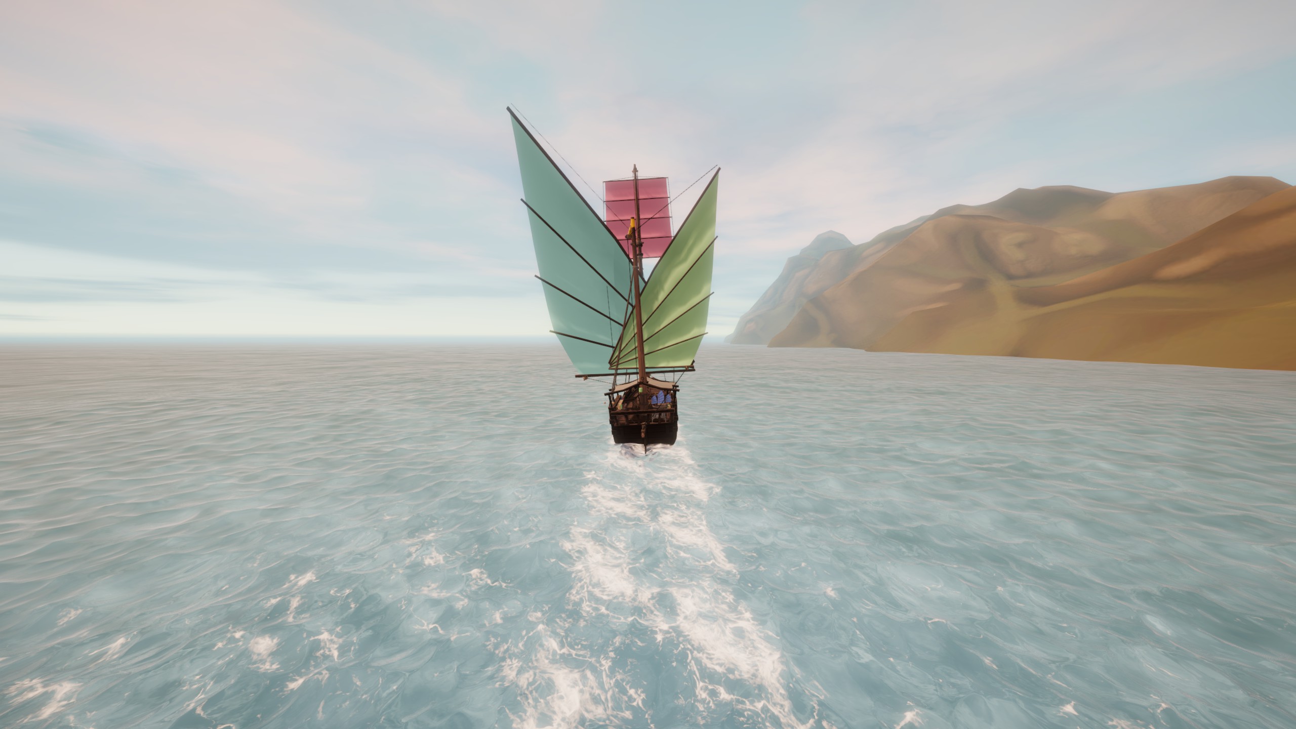
Picture the Sanbuk I used—it’s not only beautiful but also powerful. I traveled east until I hit 2 degrees of Longitude, then turned south. With favorable winds, I set up my boat to sail directly downwind and spent three days in the cabin, sipping snake oil and catching up on sleep.
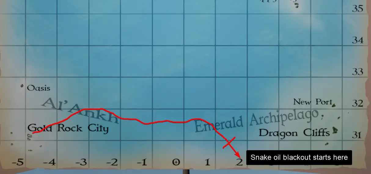
I woke from my snake oil-induced nap to find myself arriving directly at On’na. Give this method a try and see if it works for you. إذا لم يكن كذلك, I’ve documented detailed star angles, tool readings, and navigation tips for each port in the Fire Fish Lagoon. It might help you navigate and dock at each destination smoothly.
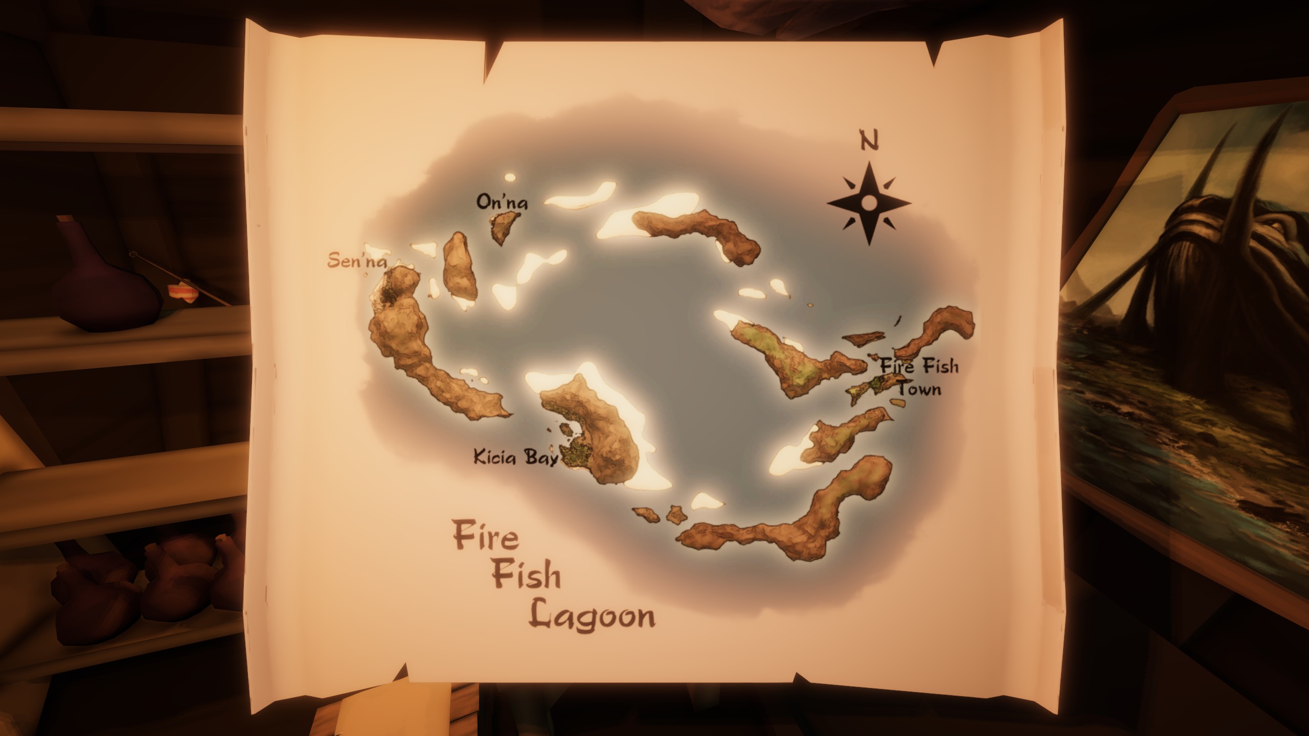
Map of the Lagoon
Here’s a map of the area, showing accurate port locations and major sandbars. لكن, be cautious as it doesn’t reveal all hazards present.
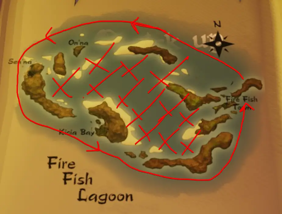
General Navigation Tip for the Lagoon
In navigating the Fire Fish Lagoon, similar to Chronos, there are numerous unmarked shallows and sandbars, often hidden by frequent fog or storms, making them hard to spot even during the day.
To tackle this challenge, consider sailing around the outer edges of the Lagoon initially. This cautious approach is recommended until you become familiar with the locations of dangerous shallows. Only venture into the inner areas under two conditions: أ) when you’re well aware of where the perilous spots are, and B) when the weather is clear with minimal or no fog, providing better visibility. This way, you can sail safely through the Lagoon and avoid potential hazards.
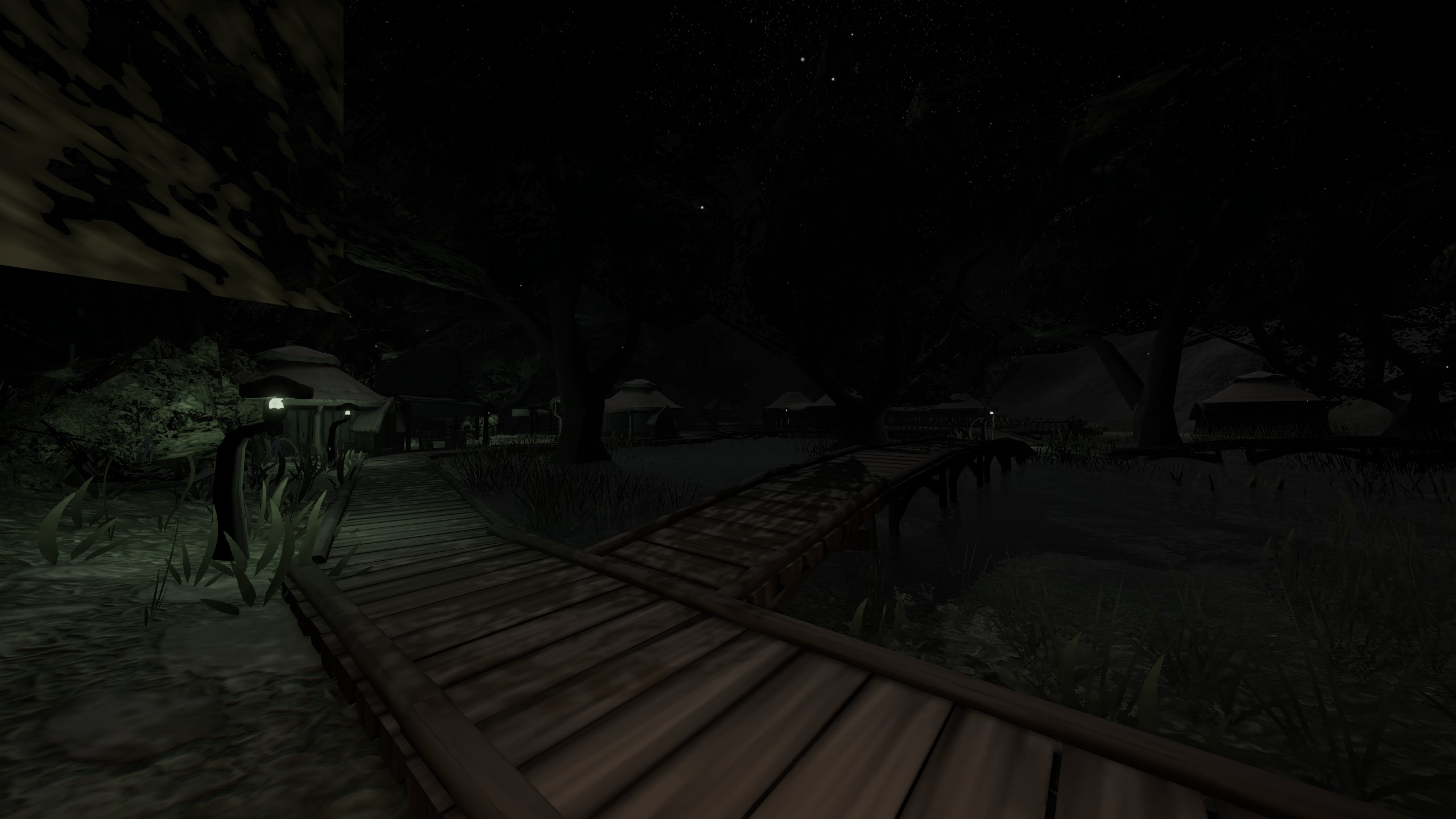
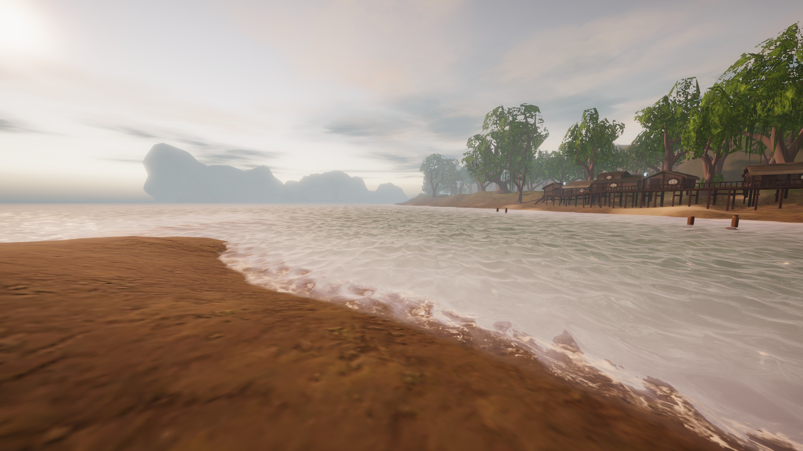
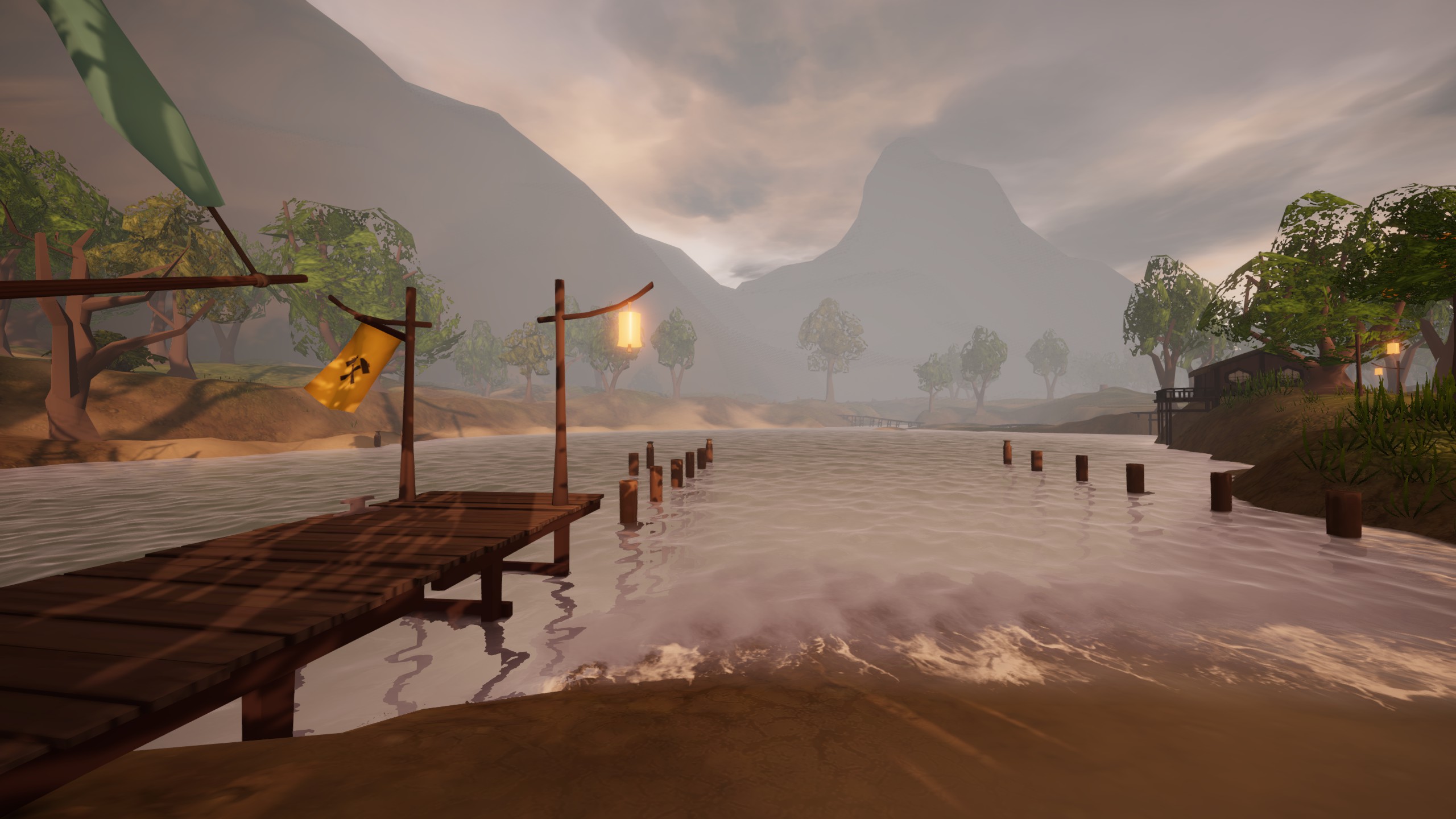
On’na
On’na is a really cute and super small village. It has a few bees, but not many stores.
Getting there by boat is pretty easy. There isn’t an actual dock, just some places to tie up your boat on the shore. The best way to come in is from the Northwest or the South.
On’na Survey Data
لذا, based on all the things I looked at and the tools I used, I’d say On’na is at 28 degrees North, 3 degrees East.
Important: I did all the measurements myself, using my own ways with each tool. Your measurements might be a bit different. Especially when it comes to the angles I measured with the sextant. They should be close, but don’t be surprised if yours are a little different.
Star Angles:
If you don’t know these stars, there’s a guide on sailwind navigation that can help. It has links to each star and how to figure out Longitude with the chronometer.
00:00 AMT
- North Star – 28*
- Witena – 35*
05:20 AMT
- Oriens – 6*
*Oriens was tricky to see at all.
12:00 Local
- Sun – 62*
19:00 AMT
- North Star – 28*
- Milnead – 12*
*The stars were really clear and bright at this sunset.
Tool Readings:
- Sun Compass – 28* at Local Noon
Chronometer – 11:49 AMT at Local Noon
*Saw the sun really well and got an accurate Local Noon reading.
Chronocompass – 28* Lat 3* Lon at Local Noon
AMT = Aestrin Time = The time on the chronometers.
Sen’na
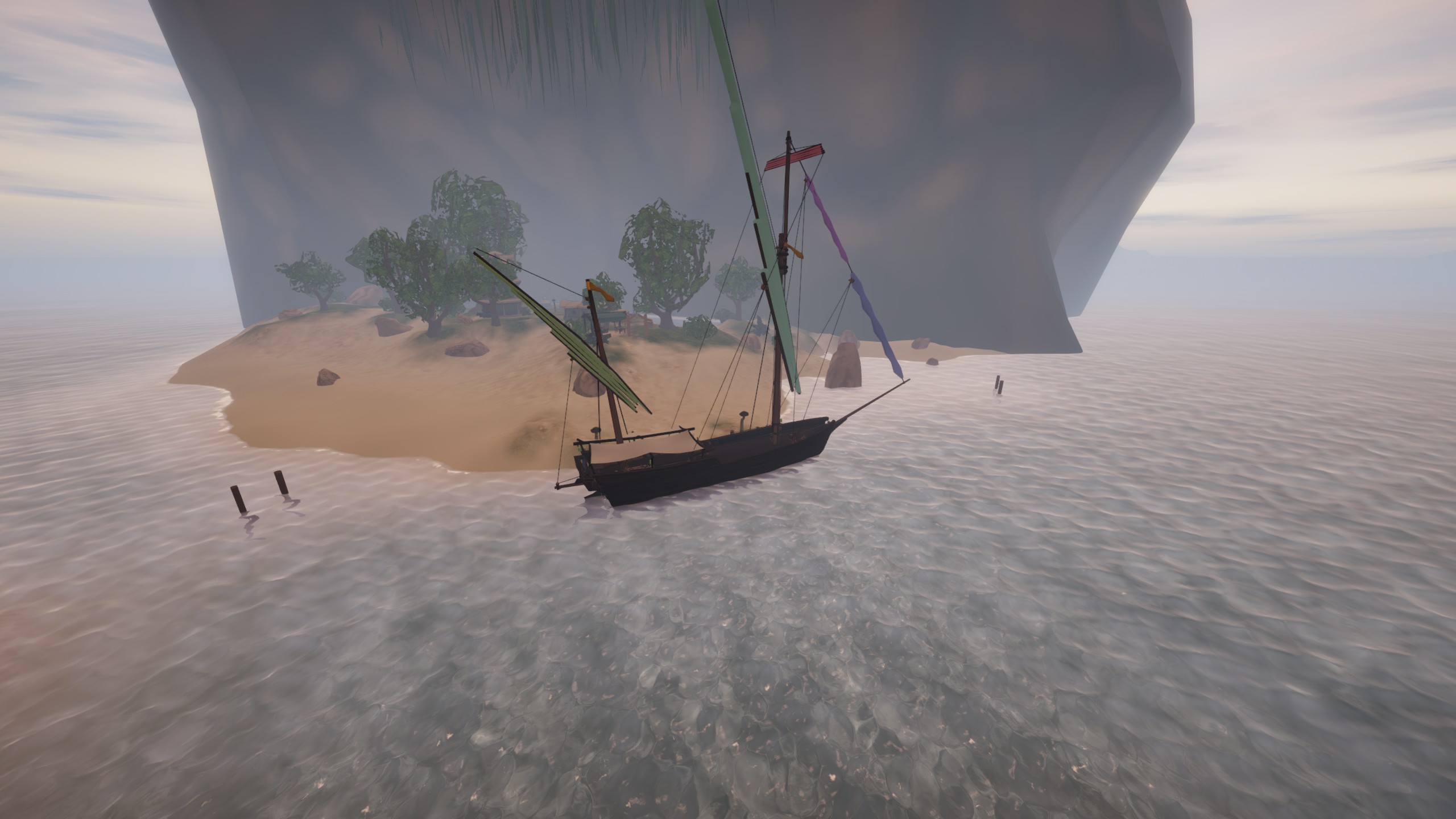
If there was a super tough challenge for docking the Brig, Sen’na would be it.
Look at it: Sen’na is totally surrounded by shallow water and sandbars. There’s only one safe way in and out.
If you’re in one of the smaller boats, not carrying much stuff, you might be able to go over the sandbars to the Southwest of the dock.
But if you’re in a big boat, the best way is to come in or go out from the North Northeast.
If it’s your first time at the port, go when you can see really well. بهذه الطريقة, you can spot all the shallow spots and figure out the best way to get in without any problems.
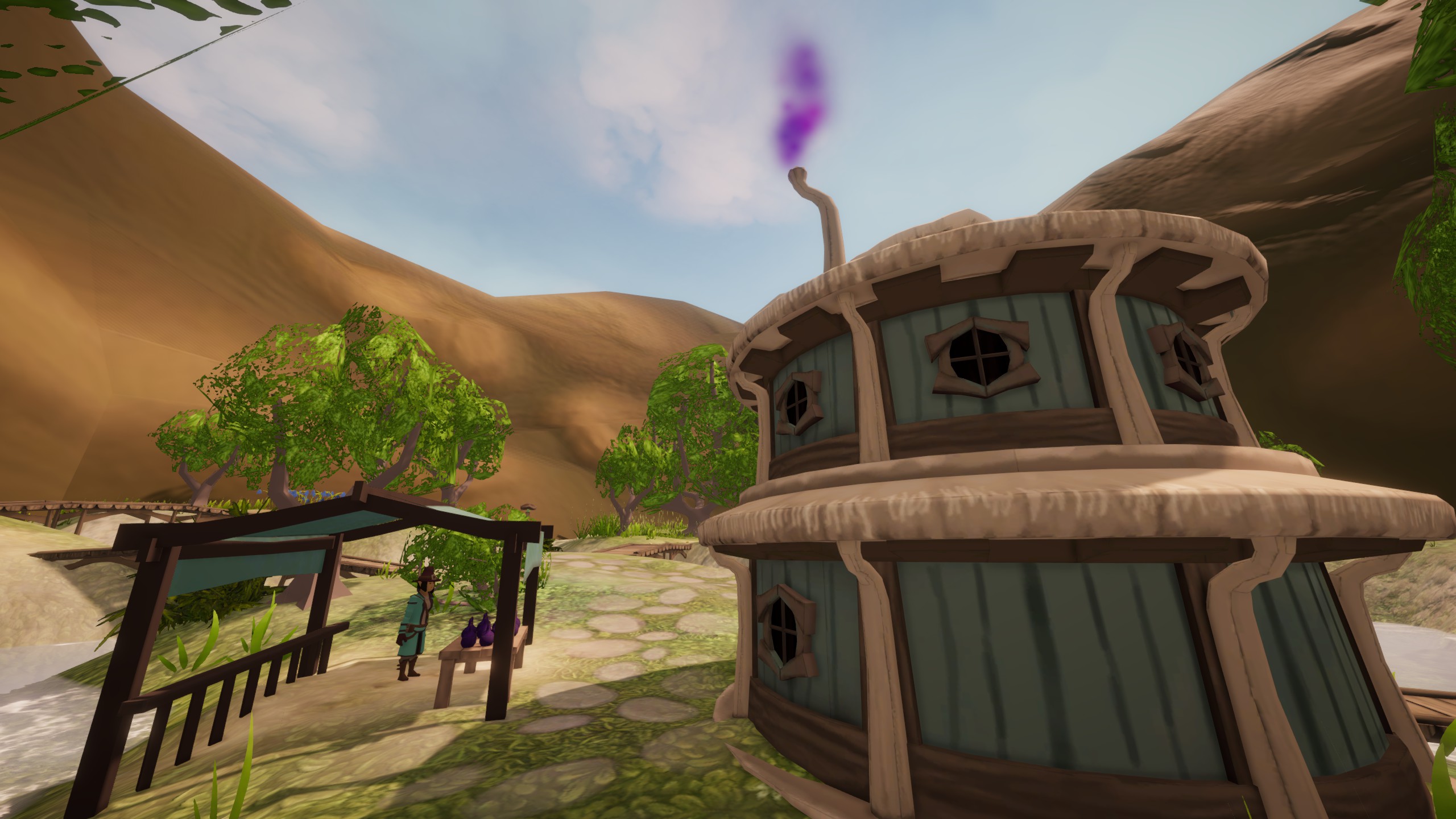
Sen’na might seem tiny at first. But if you check out the path away from the trade office, you’ll find a cute little village on a marsh.
ومهلا, don’t forget to visit the trade stall near the purple smoke for your snake oil needs.
Sen’na Survey Data
لذا, based on what I saw and all the tools I used, Sen’na is at 28 degrees North, 3 degrees East.
Important: I measured everything myself, using my own ways with each tool. Your measurements might be a bit different. Especially the angles I measured with the sextant. They should be close, but don’t be surprised if yours are a little different.
Star Angles:
If you don’t know these stars, there’s a guide on sailwind navigation that can help. It has links to each star and how to figure out Longitude using the chronometer.
00:00 AMT
- North Star – 28*
- Witena – 35*
05:20 AMT
- Oriens – Not visible, blocked by a mountain
12:00 Local
- Sun – 61*
19:00 AMT
- North Star – 28*
- Milnead – 14*
Tool Readings:
- Sun Compass – 28* at Local Noon**
Chronometer – 11:48 AMT at Local Noon**
*Saw the sun really well and got an accurate Local Noon reading.
Chronocompass – 29* Lat 3* Lon at Local Noon**
**It was stormy for 3 days while I was at Sen’na, so my local noon measurement is a bit questionable, and all shadow-based tool measurements were impacted.
AMT = Aestrin Time = The time on the chronometers.
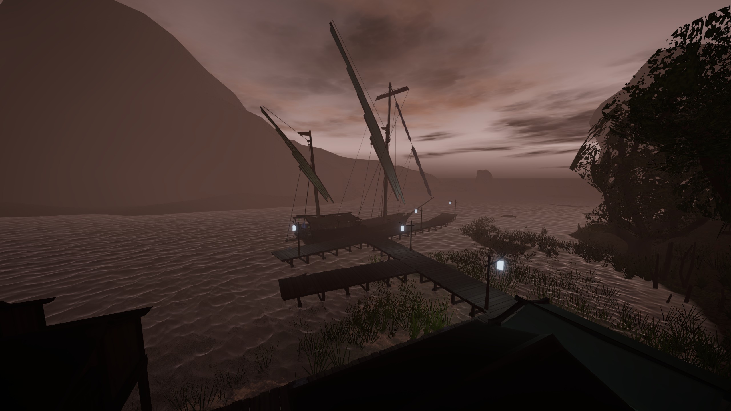
Kicia Bay
Just like most of the Lagoon, Kicia can be really tricky to get to at night. There are lots of sandbars that aren’t marked, and shallow areas where your boat might get stuck depending on how deep it sits in the water.
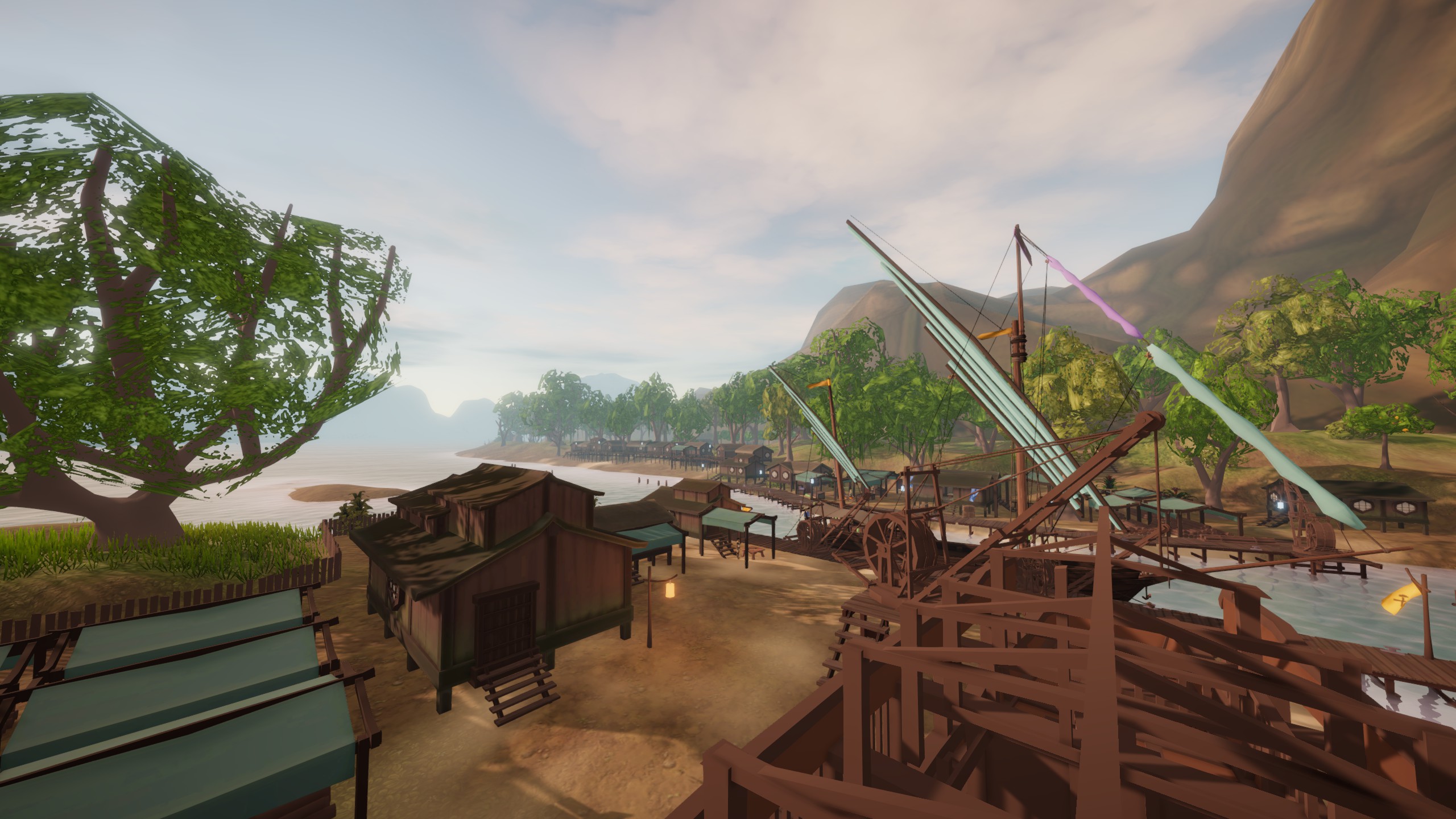
The picture above is looking Southwest from the smaller dock. If you’re super careful and the wind is right, you can come in from the south and park your boat here.
I suggest coming to Kicia from the West along the coast and staying North of the sandbars.
Fire Fish Town might be the official capital of the Lagoon, but Kicia Bay is like the real capital in every way that matters.
There’s a shipyard here, the biggest market in the Lagoon, and a really cool special vendor. Definitely check out all the shops and take a look at the awesome ship being built at the shipyard. There are also some special sails you can get at the shipyard, so don’t miss that.
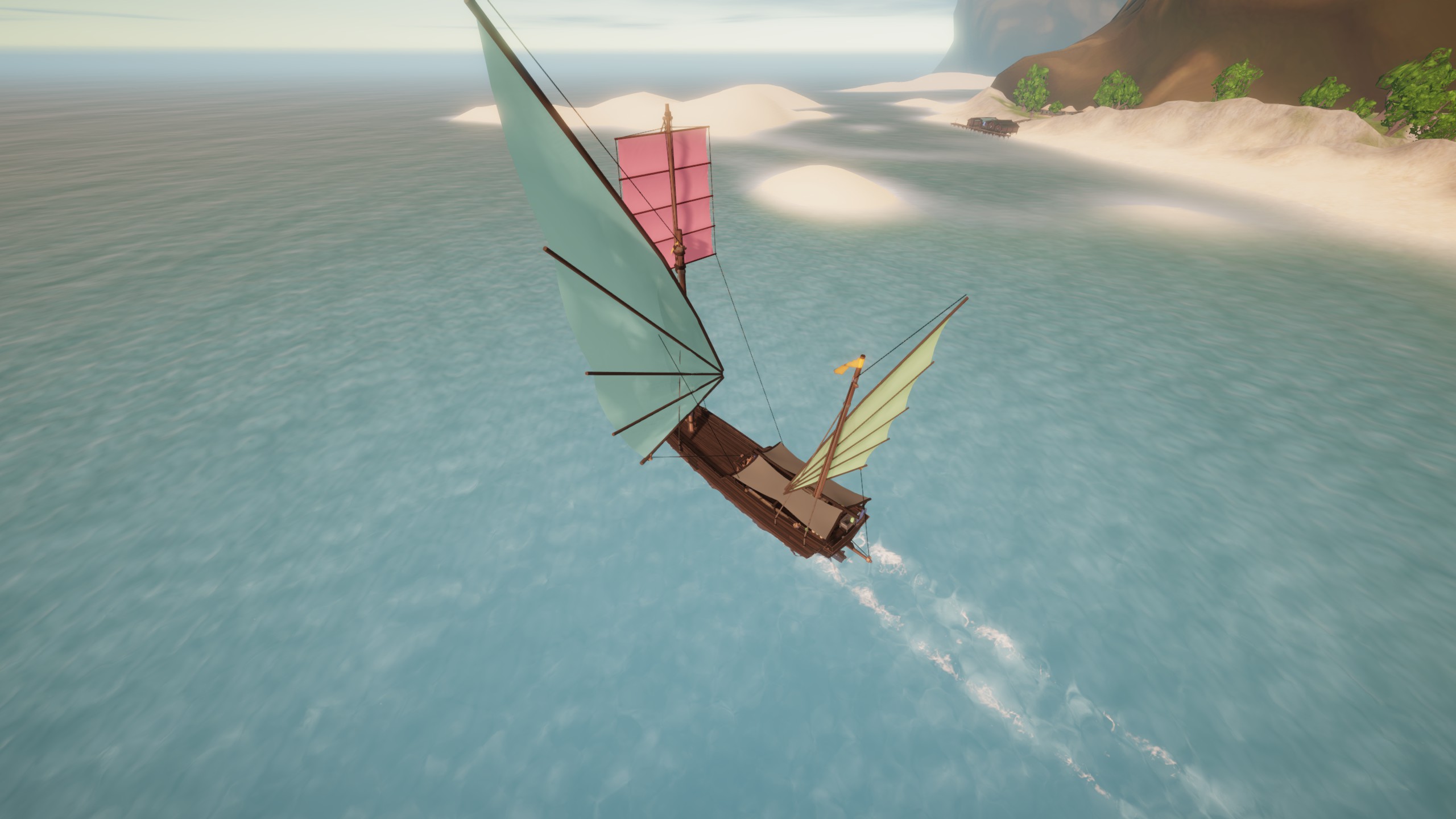
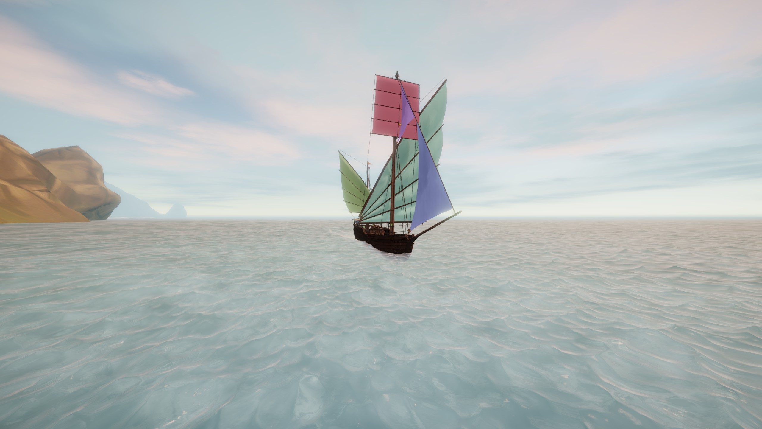
Here are some of the sails and sail colors I found at Kicia on my boat
After you park and unload, follow the paths to the south of the shipyard and into the forest. Look around for a monument in a clearing. RIP Kicia.
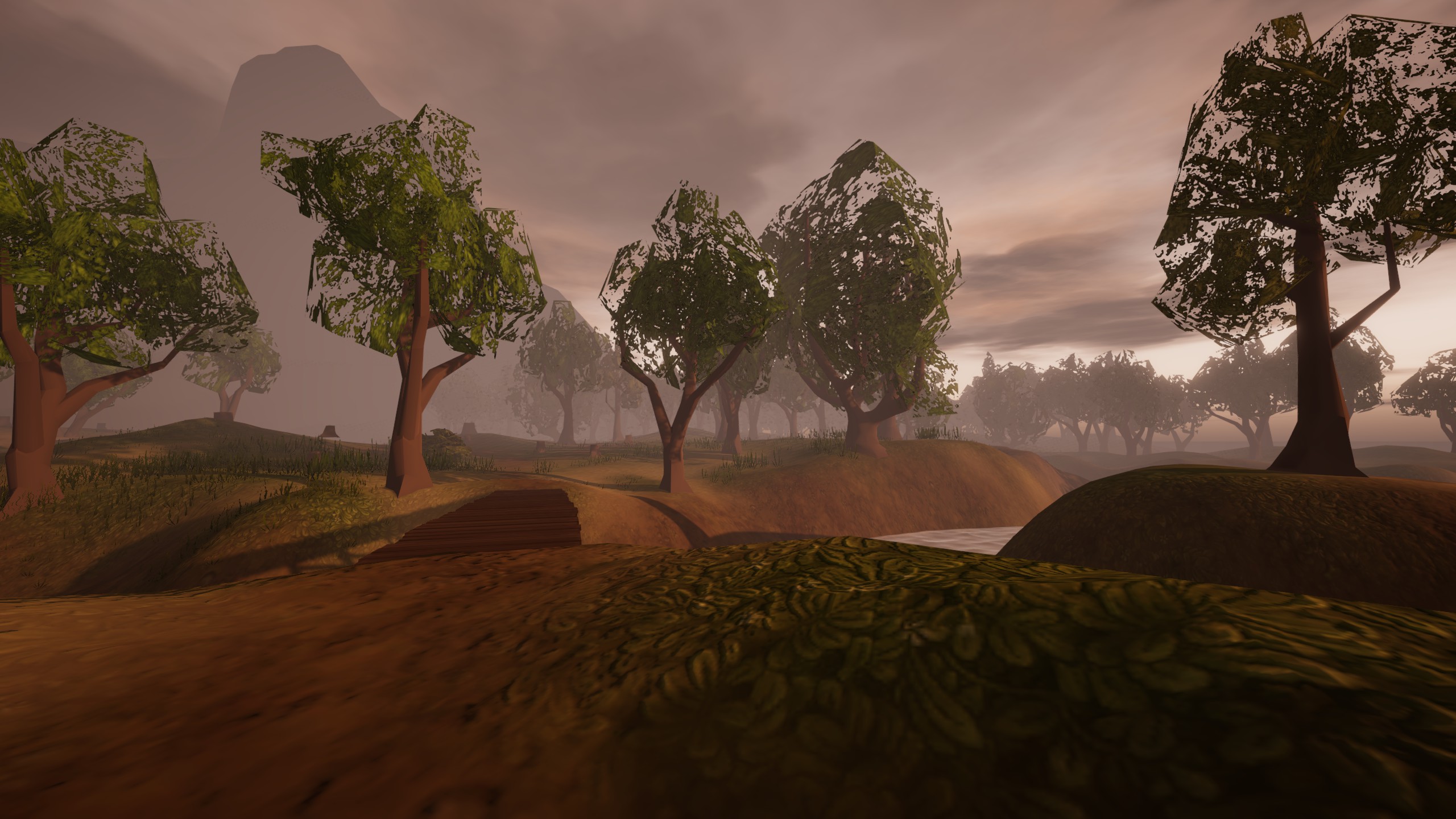
Cross the bridge and explore the forest a bit.
To leave, go out the same way you came in. There’s no way out to the ocean East of the dock.
Kicia Bay Survey Data
لذا, based on what I saw and all the tools I used, Kicia Bay is at 27.5 degrees North, 3.25 degrees East.
Important: I measured everything myself, using my own ways with each tool. Your measurements might be a bit different. Especially the angles I measured with the sextant. They should be close, but don’t be surprised if yours are a little different.
A good nearby landmark that can help you when coming from the South or West is the tall mountain just East of the port.
Star Angles:
If you don’t know these stars, there’s a guide on sailwind navigation that can help. It has links to each star and how to figure out Longitude using the chronometer.
00:00 AMT
- North Star – 28*
- Witena – 35*
05:20 AMT
- Oriens – Not visible, blocked by the mountains.
12:00 Local
- Sun – 60*
19:00 AMT
- North Star – 28*
- Milnead – 12*
Tool Readings:
- Sun Compass – 27* at Local Noon
Chronometer – 11:47 AMT at Local Noon
Chronocompass – 28* Lat 3* Lon at Local Noon
AMT = Aestrin Time = The time on the chronometers.
Fire Fish Town
Fire Fish Town is like the big deal capital of the Lagoon, and it’s where most of your missions will take you.
Getting there is a bit tricky, with hazards all around the dock, but there’s plenty of space to steer any ship safely. And guess what? There are two docks, so you’ve got choices.
It’s one of the prettier towns in the game, so I won’t spoil the first sight with screenshots. I just suggest you try to get there for the first time right after the sun goes down.
احرص, check the map, and you should be good.
Fire Fish Town Survey Data
لذا, based on what I saw and all the tools I used, Fire Fish Town is at 27.5 degrees North, 3.5 degrees East.
Important: I measured everything myself, using my own ways with each tool. Your measurements might be a bit different. Especially the angles I measured with the sextant. They should be close, but don’t be surprised if yours are a little different.
Star Angles:
If you don’t know these stars, there’s a guide on sailwind navigation that can help. It has links to each star and how to figure out Longitude using the chronometer.
00:00 AMT
- North Star – 28*
- Witena – 36*
05:20 AMT
- Oriens – 8*
*You need to see Oriens from the southern dock.
12:00 Local
- Sun – 63*
19:00 AMT
- North Star – 28*
- Milnead – 11*
Tool Readings:
- Sun Compass – 28* at Local Noon
- Chronometer – 11:45 AMT at Local Noon
- Chronocompass – 28* Lat 4* Lon at Local Noon
AMT = Aestrin Time = The time on the chronometers.
هذا كل ما نشاركه اليوم من أجل هذا Sailwind مرشد. تم إنشاء هذا الدليل وكتابته في الأصل بواسطة Ry. في حالة فشلنا في تحديث هذا الدليل, يمكنك العثور على آخر تحديث باتباع هذا وصلة.